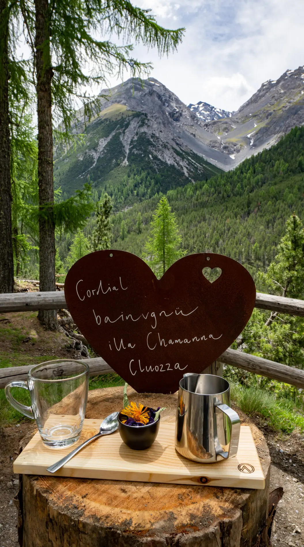
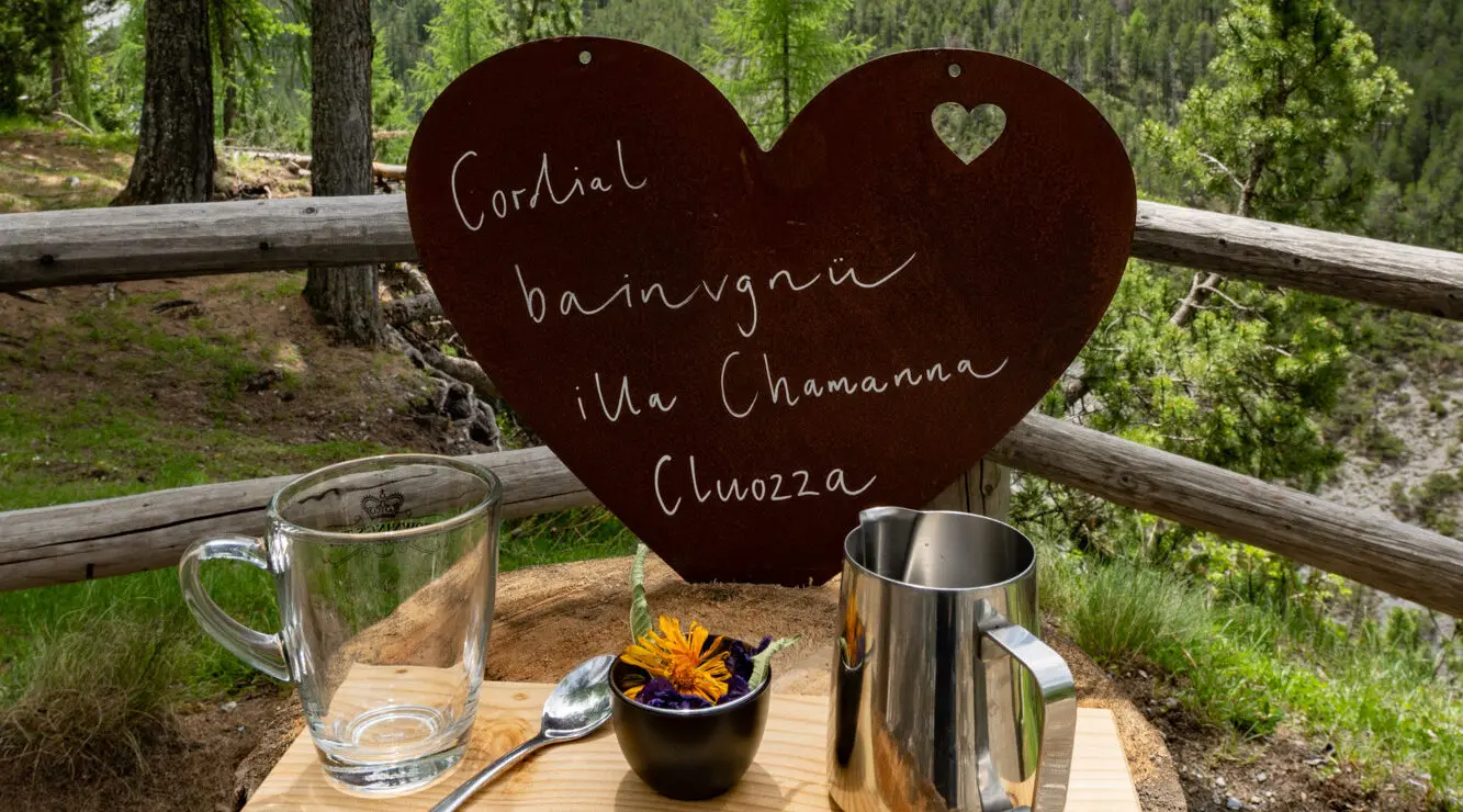
Welcome!


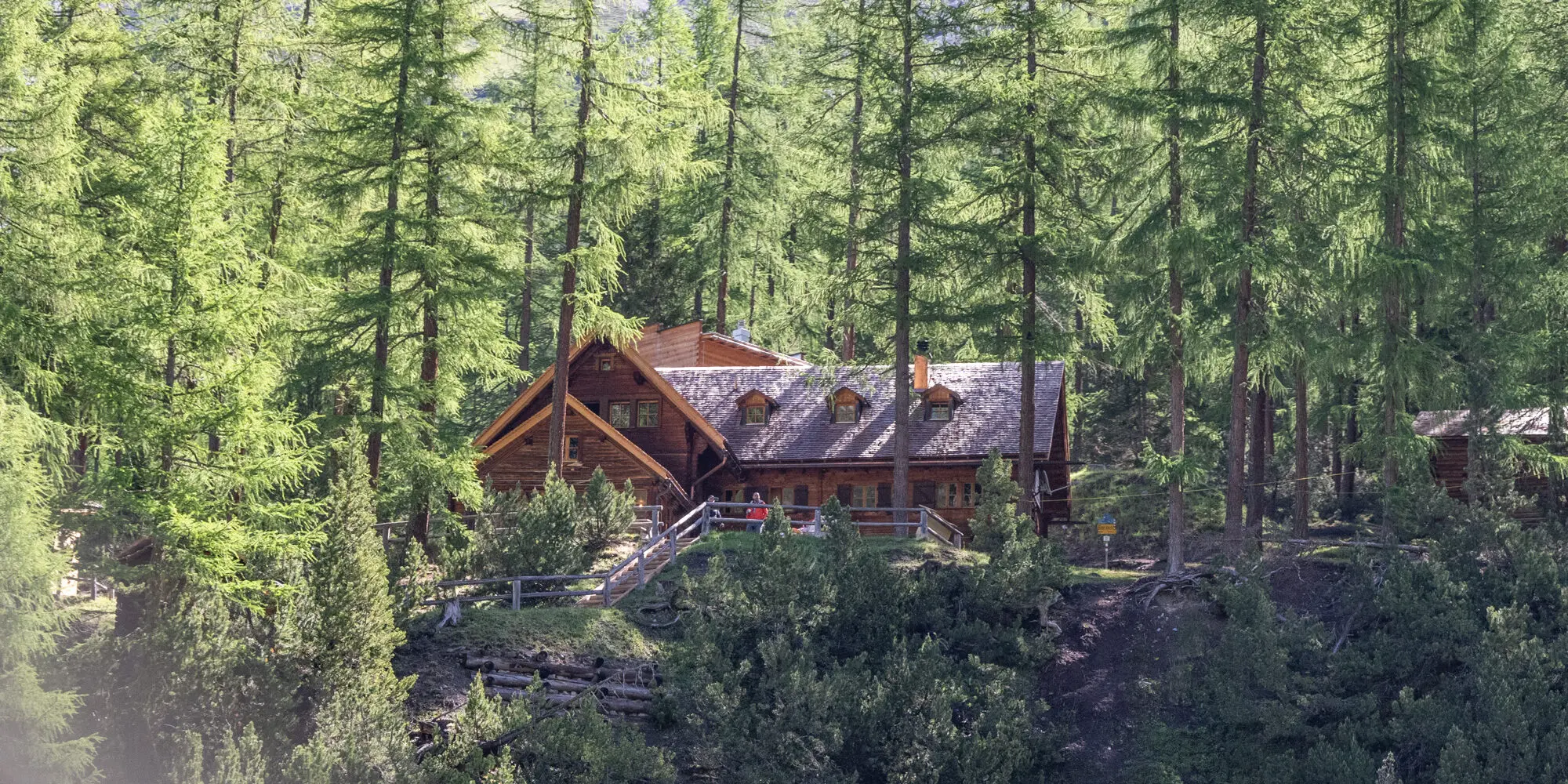
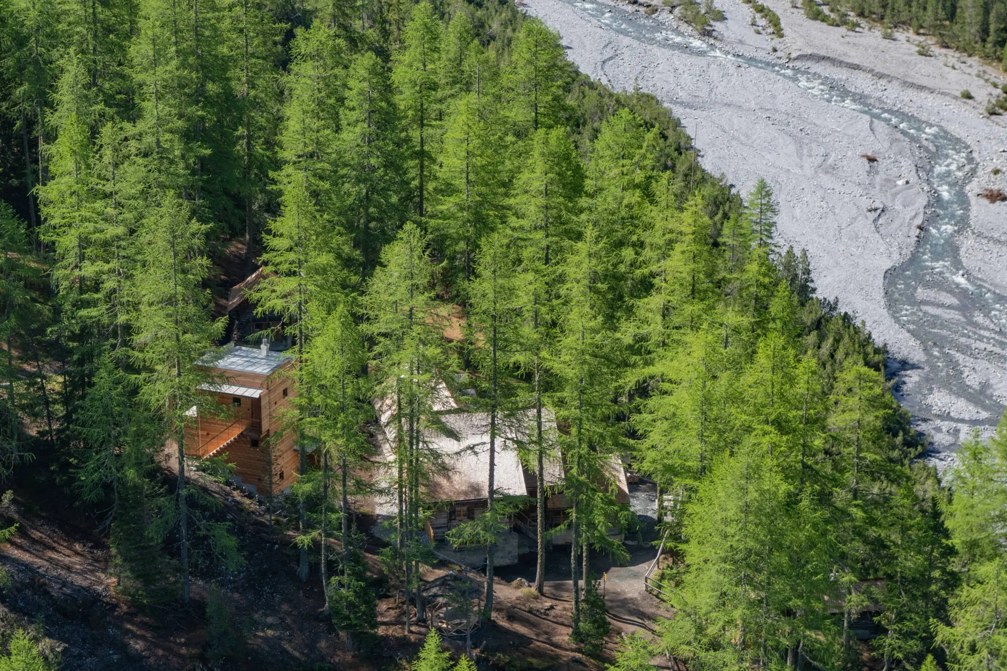
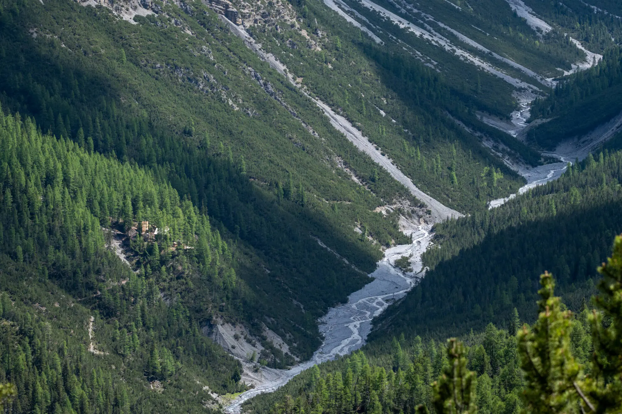
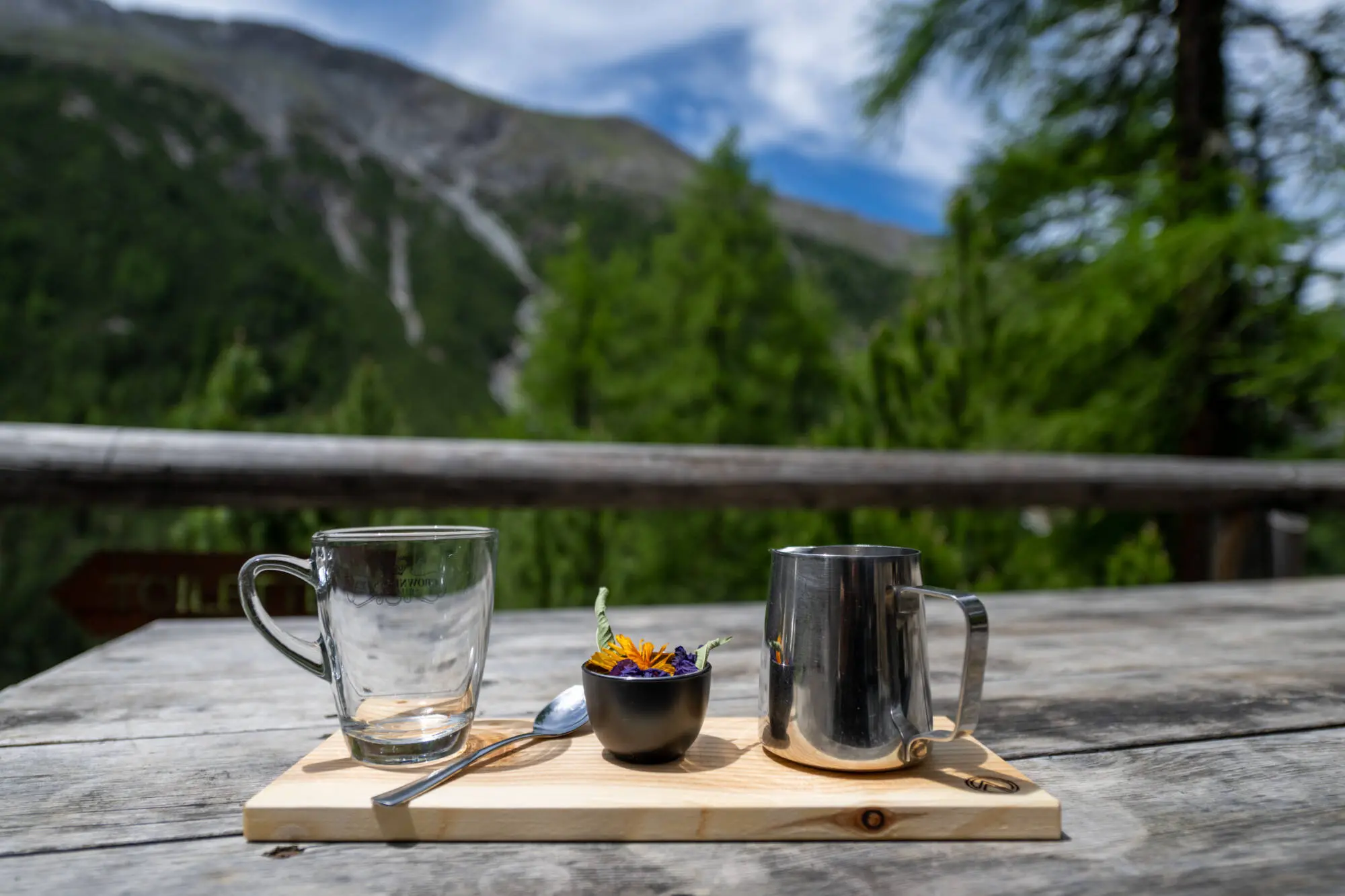
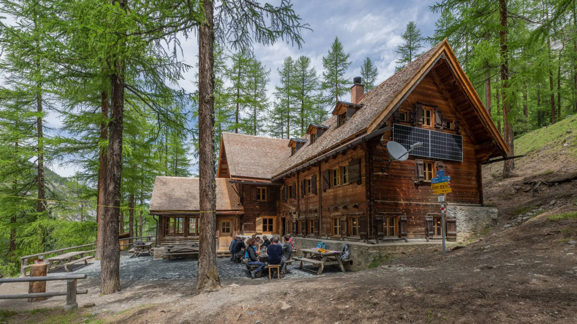
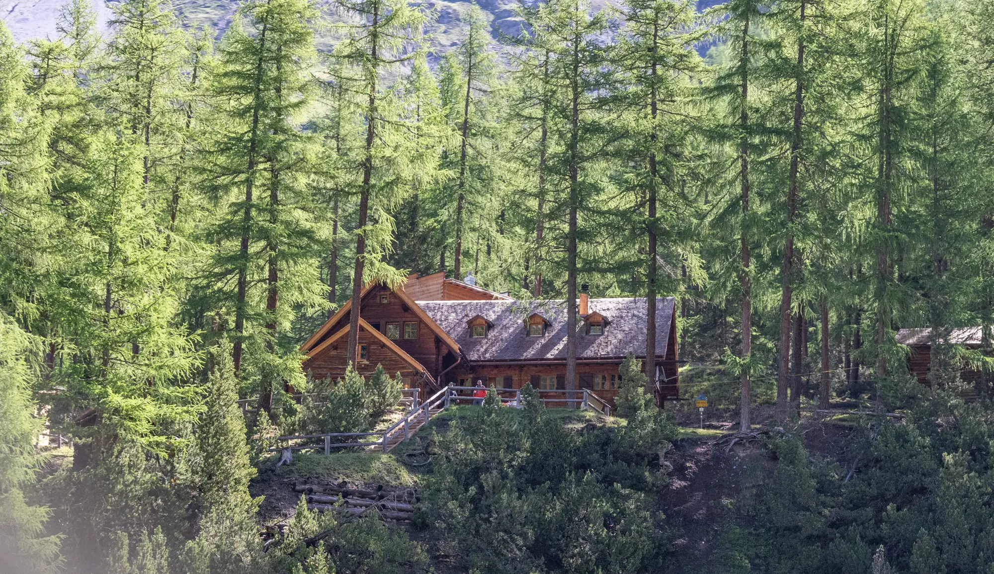
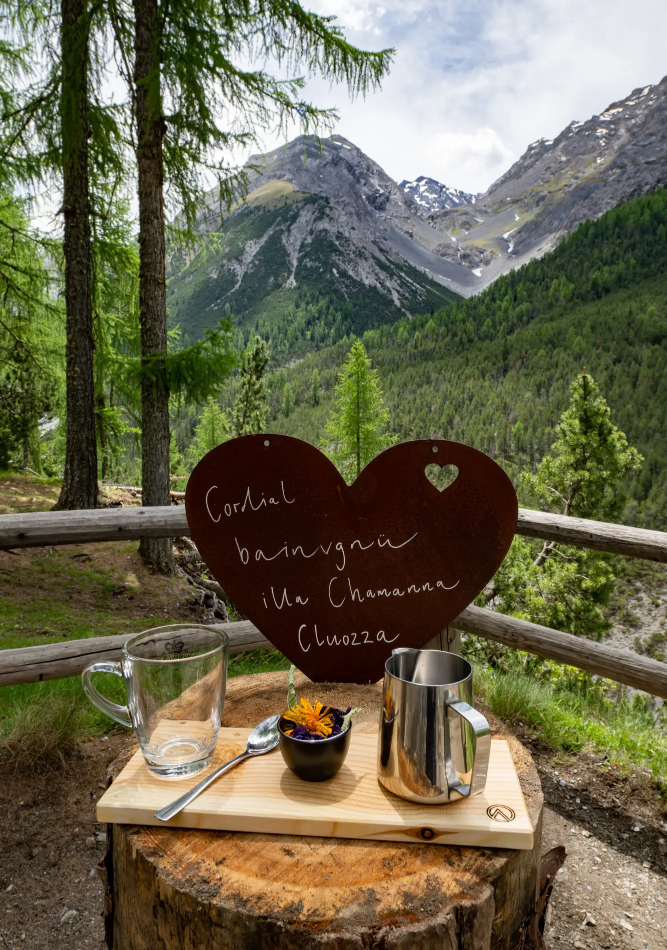
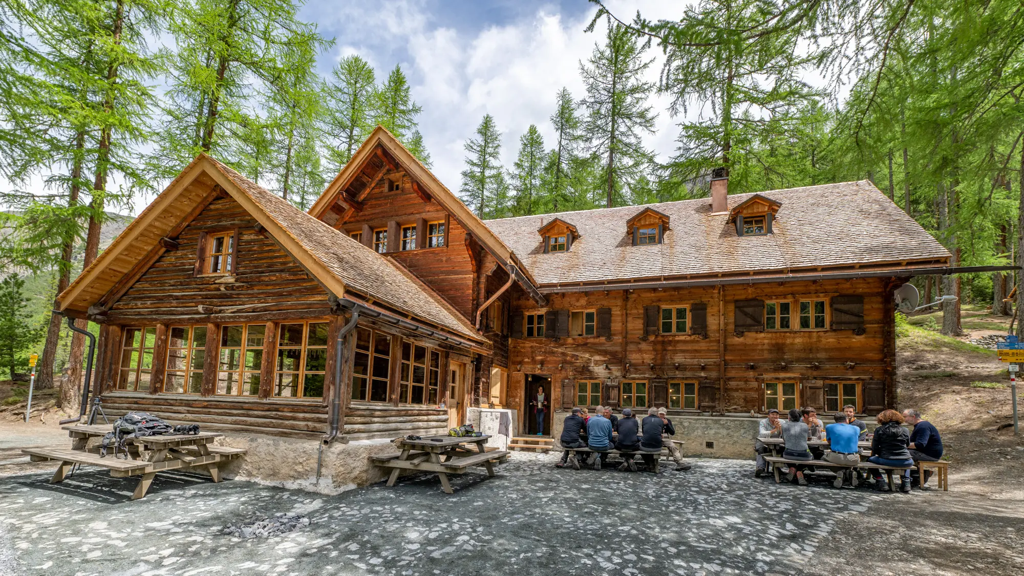
An overnight stay in the wild and romantic Cluozza valley is an unforgettable experience. The Chamanna Cluozza («Chamanna» means «hut») is the only catered hut in the Swiss National Park. It is located in the heart of the Swiss National Park at 1882 m above sea level and offers simple and cosy accommodation in multi-bed rooms or dormitories. It is an ideal starting point for hikes into the Cluozza valley, the first valley that the municipality of Zernez made available to the developing National Park back in 1909.
The Chamanna Cluozza is open from mid-June to mid-October.
Nicole and Artur Naue with their two sons Leo and Til will be welcoming you to the Chamanna Cluozza. More information about the family Naue can be found → here (in German).
The hut was gently renovated in 2021. A new, separated building now provides space for the staff. You can find out more about the renovation → here (in German).
Chamanna Cluozza
Nicole und Artur Naue
Tel. +41 (0)81 856 12 35
cluozza@nationalpark.ch
Postal address:
Schweizerischer Nationalpark
Nicole und Artur Naue
Chamanna Cluozza
Runatsch 124
Chastè Planta-Wildenberg
7530 Zernez
Reservation and Prices
We are happy to receive your reservation → online or via email or phonecall.
Chamanna Cluozza
Tel. +41 (0)81 856 12 35
cluozza@nationalpark.ch
______________
Prices:
Multi-bed rooms
| Adults (20 years or older) | CHF 87.– |
| Pro Natura members | CHF 79.– |
| Youths (10-19 years) | CHF 68.– |
| Children (up to 9 years) | CHF 43.– |
Dormitories
| Adults (20 years or older) | CHF 72.– |
| Pro Natura members | CHF 64.– |
| Youths (10-19 years) | CHF 52.– |
| Children (up to 9 years) | CHF 26.– |
______________
Overnight prices include accommodation in the desired category with dinner and breakfast
(CHF = Swiss francs).
Overnight stays with self-catering are not possible.
Sleeping bag and packed lunch
Sleeping bag liners are mandatory even in the room. They can also be rented or purchased in the hut.
We will gladly prepare a packed lunch for your hike, if ordered in advance.
Payment
Accommodation and catering costs are to be paid on the day of departure at the latest. Please pay in cash, CHF or Euro (at the current exchange rate). Due to lack of phone coverage, payment by credit card or by TWINT is not possible.
Reduced overnight prices for Pro Natura members are only granted with a valid identification card. In private huts such as this, there is no reciprocal right for SAC members or members of any other organisation
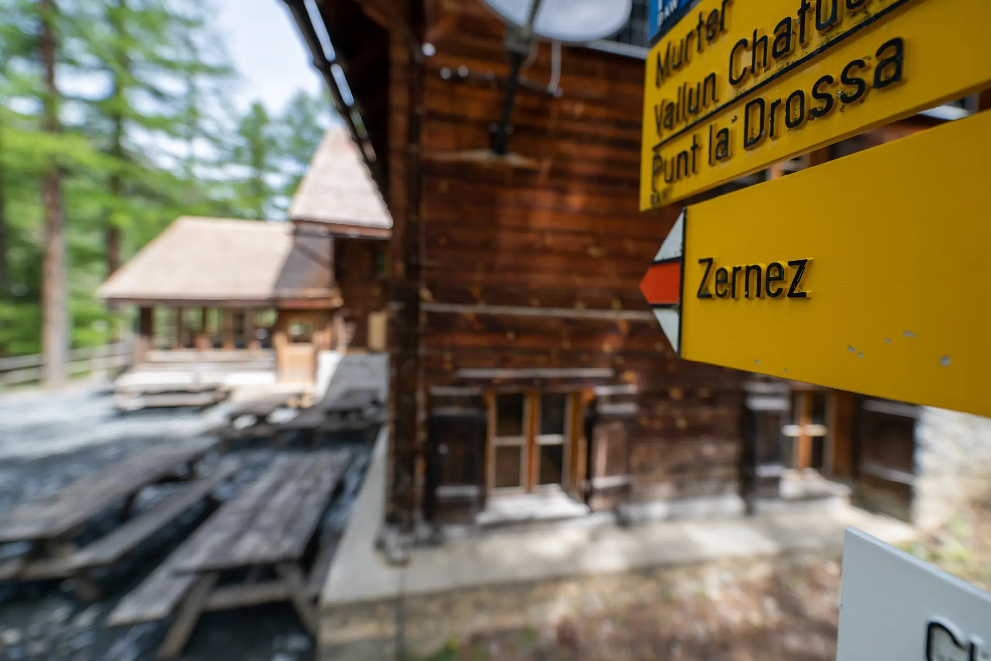


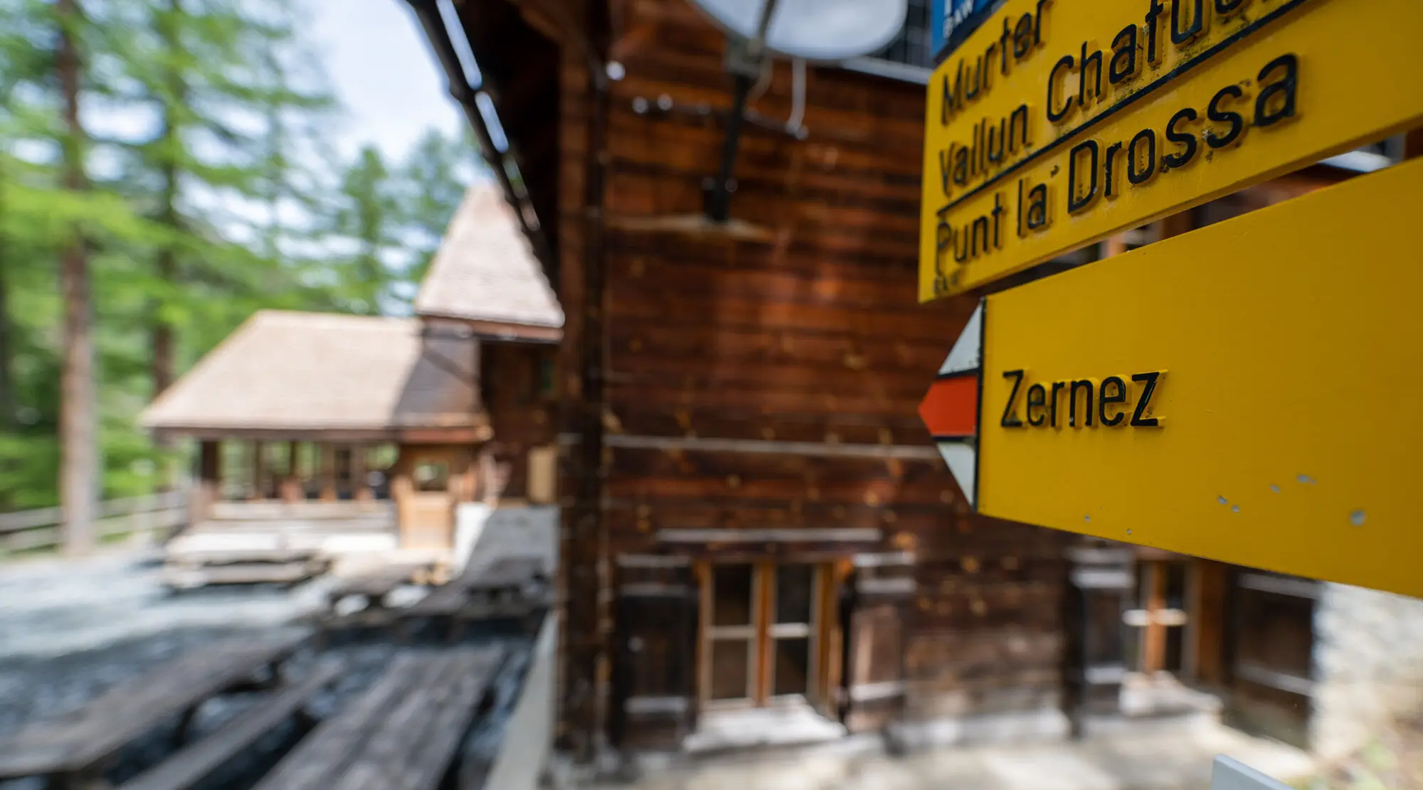
Access
The most direct access is via route 07 (3 h 30 min, 8 km, T2+ according to the SAC hiking scale):
You reach the Chamanna Cluozza (1882 m above sea level) in about 3.5 hours from Zernez (1471 m a.s.l.). The hiking route from Zernez railway station first leads through the village in the direction of the Fuorn pass (Ofenpass). On leaving the village, the trail crosses the covered wooden bridge and then leads steadily upwards through colourful meadows and larch-spruce forest. It is a leisurely ascent up to the Sarasin stone, commemorating Paul Sarasin, the co-founder of the Swiss National Park. The route then becomes steeper through the forest and leads to the viewpoint named Fops at about 2120 m a.s.l. This viewpoint offers a fantastic view over the wild Cluozza valley and the mountains nearby. With a telescope, you can see the fossilised dinosaur tracks on a rock face on the Piz dal Diavel. The location is also ideal for observing animals. The descent through dwarf mountain pines, with the trail repeatedly crossing gullies, remind us that heavy precipitation strongly shapes this valley. After crossing the Cluozza stream (bridge) and a short ascent, you finally reach the Chamanna Cluozza.
Three different hiking routes can be taken from the Chamanna Cluozza. All routes are described in detail → here and are indicated in red on the map below:
- Route 08 Murtersattel (3 h 45 min, 7.5 km, T3)
- Route 03 Fuorcla Val Sassa (7 h 30 min, 17 km, T4)
- Route 04 Piz Quattervals (5 h ascent, 5 km, T5)
Routes 08 and 03 also serve as approaches to the hut.